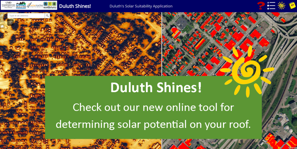
Duluth Shines! Solar Map
In partnership with the US Department of Energy’s Solar Market Pathways program, St. Louis County, the City of Duluth, the University of Minnesota Duluth’s Geospatial Analysis Center, and the National Renewable Energy Lab, Ecolibrium3 has released an interactive map of over 60,000 buildings in the City of Duluth. The Duluth Shines! Solar Map allows residents and businesses to see how much rooftop solar energy could be produced on their buildings. The map works with a MN DNR calculator that demonstrates solar installation costs, energy generated, incentives available, and return on investment. Ecolibrium3 can assist you on using this tool for a free solar assessment.